GetYourGuide7.5 hours
Nature· Las Palmas and the north
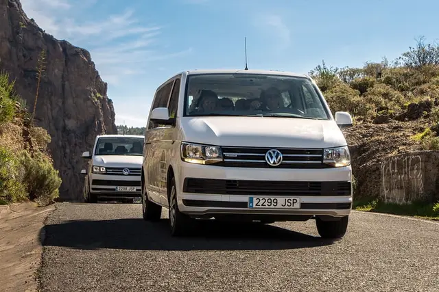
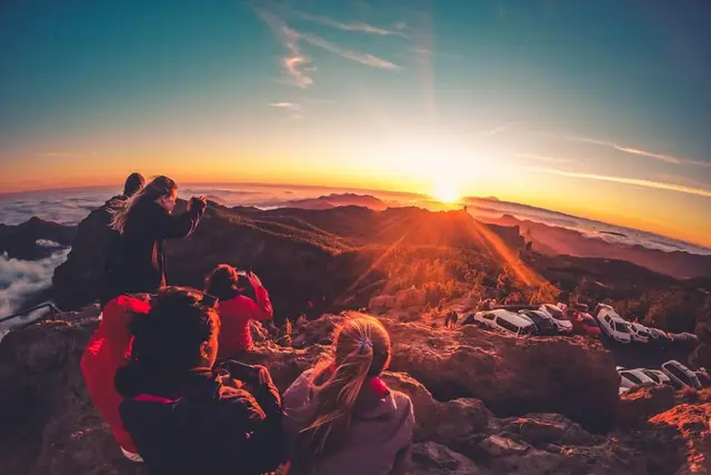
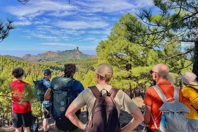
From Palmas: Pico de las Nieves & Roque Nublo Full-Day Trip
4.7 (1,279)
from €48Check availability
Summit and natureWhat to see · coast to summit
About 30 places to visit in Gran Canaria, sorted by area: what is worth it, how long each one takes, how to get there from the south or from Las Palmas and which days it closes.
Updated 15 October 2026Facts checked against official sourcesContains affiliate links
9 options · Prices checked on 15 October 2026
Nothing matches that combination. Remove a filter.
GetYourGuide7.5 hours
Nature· Las Palmas and the north
4.7 (1,279)
from €48Check availability
GetYourGuide8 hours
Towns and trips· Puerto Rico and Mogán
4.2 (2,154)
from €44Check availability
GetYourGuide4 hours
Nature· Whole island
4.9 (188)
from €74Check availability
GetYourGuide1 hour
Towns and trips· Las Palmas and the north
4.1 (307)
from €9Check availability
GetYourGuide40 minutes
Sea· Puerto Rico and Mogán
4.4 (4,481)
from €38Check availability
GetYourGuide5.5 hours
Nature· Whole island
4.9 (34)
from €87Check availability
GetYourGuide8.5 hours
Towns and trips· Las Palmas and the north
4.9 (1,015)
from €46Check availability
GetYourGuide8 hours
Towns and trips· Las Palmas and the north
4.4 (365)
from €44Check availability
GetYourGuide8 hours
Nature· Whole island
4.7 (324)
from €115Check availability
This list of places to visit in Gran Canaria is about places, not activities: dunes, barrancos (the deep ravines that run from the summit down to the sea), villages, viewpoints and caves. Boats, theme parks and sports are in things to do in Gran Canaria.
The south has the sun and the beaches; the history, the villages and the scenery are on the summit, in the north and in the east. From the south, each inland area is a day trip; from Las Palmas, the north is half an hour away.
The numbers follow the order of this page, from south to north and back down the east.
The times in the table assume no traffic: on the summit bends and on the GC-1 at rush hour, allow considerably more.
| Playa del Inglés | Maspalomas / Meloneras | Puerto Rico / Amadores | Puerto de Mogán | Las Palmas | |
|---|---|---|---|---|---|
| Dunas de Maspalomas | 4 min2 km | 10 min6 km | 27 min20 km | 27 min26 km | 49 min60 km |
| Puerto de Mogán | 26 min26 km | 25 min23 km | 27 min15 km | here | 65 min79 km |
| Roque Nublo | 61 min40 km | 67 min44 km | 84 min57 km | 84 min64 km | 73 min51 km |
| Tejeda | 77 min49 km | 82 min52 km | 99 min65 km | 99 min72 km | 63 min44 km |
| Teror | 64 min67 km | 68 min72 km | 83 min82 km | 83 min89 km | 33 min25 km |
| Puerto de las Nieves (Agaete) | 76 min87 km | 80 min92 km | 95 min102 km | 95 min109 km | 39 min36 km |
| Vegueta (Plaza de Santa Ana) | 42 min51 km | 46 min57 km | 61 min67 km | 61 min74 km | 8 min7 km |
| Caldera de Bandama | 45 min50 km | 49 min55 km | 64 min66 km | 64 min72 km | 23 min18 km |
| Barranco de Guayadeque | 40 min36 km | 44 min41 km | 59 min51 km | 59 min58 km | 44 min39 km |
| Barranco de las Vacas | 39 min33 km | 43 min39 km | 58 min49 km | 58 min56 km | 49 min45 km |
Free-flow driving time calculated with OSRM on OpenStreetMap. In summer and at rush hour allow 20–30 % more, plus time to park.
Around 400 hectares of sand protected as a Special Nature Reserve, with a lagoon and a palm grove inside. You may only walk on the trails marked with posts (about 8 km over four routes); leaving them carries fines of €150 to €600, and sunset is when they are handed out most. To see the dunes without stepping on sand, go up to the Mirador de las Dunas (dune viewpoint) by the Riu Palace hotel, at the end of Playa del Inglés.
Time: 1–2 h · Getting there: on foot from Playa del Inglés or Meloneras · Guide: Maspalomas and the dunes
The lighthouse was first lit on 1 February 1890 and stands 55 m tall. 200 m away is La Charca, a brackish lagoon with a boardwalk on its western shore where you can spot up to 24 bird species on a good day. The Meloneras promenade runs west from the lighthouse, flat and lined with terraces.
Time: 1 h · Getting there: guaguas (buses) 30, 32, 33, 39, 50 or 66 to the Faro de Maspalomas bus station · Guide: Maspalomas
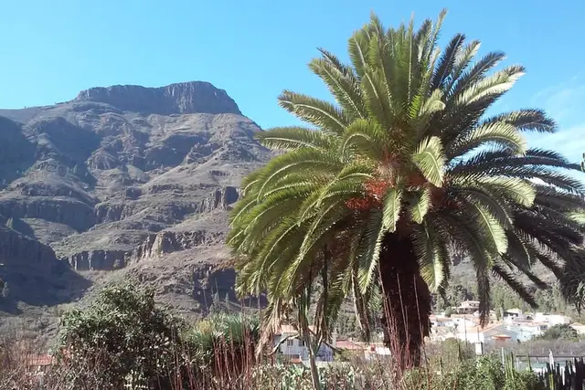
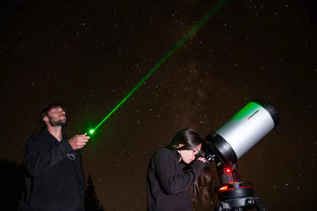
The GC-60 climbs from Playa del Inglés through the Fataga ravine towards the summit. The Degollada de las Yeguas, on this road, is one of the island's official astronomical viewpoints and the closest one to Maspalomas.
Time: 30 min stop · Getting there: car, or bus 18 from Faro de Maspalomas (€2.65 to Fataga) · Guide: sunset in Gran Canaria
Canals, bougainvillea and a fishing harbour that supplies the restaurants; the beach (209 m) is sheltered by a breakwater. On Fridays there is a mercadillo (street market) from 09:00 to 15:30 and car access to the harbour is cut off, so arrive by boat or bus that day.
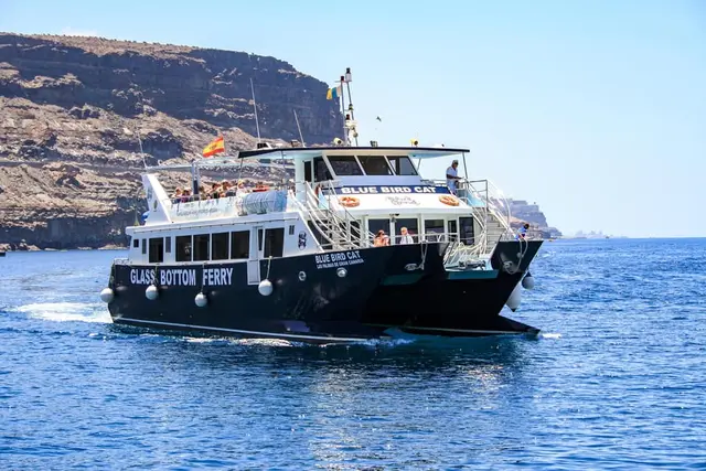
Time: half a day · Getting there: Líneas Salmón boat from Puerto Rico (€8 single, €14 return) or buses 1, 32 (weekdays), 33 (Saturdays and public holidays) and 91 · Guide: Puerto de Mogán
Above the harbour, a pre-Hispanic settlement more than 1,300 years old with the best view over Puerto de Mogán. Entry €4 (valid for a year), under-10s free. Open Tuesday to Sunday (10:00–17:00 from October to March) and closed on Mondays.
Time: 45 min · Getting there: on foot from the harbour, via Calle La Puntilla · Guide: Puerto de Mogán
Amadores has 488 m of pale sand and calm water, and is linked to Puerto Rico by a seafront promenade of about 1 km. With children it beats Taurito, which has black sand and currents when there is a ground swell.
Time: a beach day · Getting there: buses 1, 33, 39 and 91 · Guide: Amadores and Anfi
Anfi is a man-made beach with a heart-shaped islet; from Puerto Rico you can get there by boat for €5. In Arguineguín, the fishing town next door, three markets fill the Plaza Negra and the Plaza de las Marañuelas on Tuesdays (08:30–15:00): go before 10:00.
Time: 2 h · Getting there: boat from Puerto Rico or Mogán; buses 1, 39, 90 and 91 · Guide: Amadores and Anfi
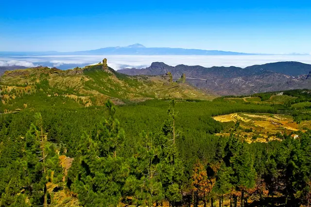
The summit, the island's high centre, is often clear above the sea of cloud when the north is grey. Bring a warm layer.
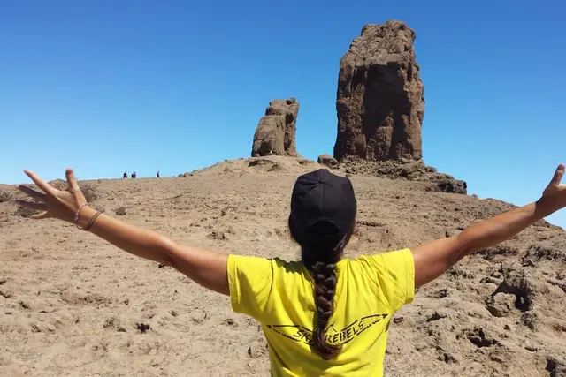
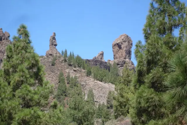
The 1,813 m monolith is the image of the island. To enter the trail from La Goleta between 10:00 and 17:00 you need a free booking at reservasroquenublo.com. The 10:00–12:00 slots sell out days ahead; afternoons usually stay free, and before 10:00 or after 17:00 no booking is needed. La Goleta car park is closed: park at Cruz de Los Llanos and take the shuttle up (9 minutes).
Time: 2 h including the climb · Getting there: car to Cruz de Los Llanos or bus 18 from Faro de Maspalomas (€6; the 08:00 arrives at 09:30, before the regulated hours) · Guide: Roque Nublo: booking and route
A viewpoint at around 1,950 m beside the fence of the military radar that occupies the top: you cannot stand on the summit itself, so do not plan to "climb the peak". It is a stop by car; no bus goes there.
Time: 30 min · Getting there: by car or on a tour only · Guide: Pico de las Nieves and volcanoes
The only village in Gran Canaria in the "Most Beautiful Villages in Spain" network. It looks out over the great caldera of the summit, with almond sweet shops (bienmesabe and marzipan), the Museo Abraham Cárdenes (daily 10:30–15:30) and the Almond Blossom festival in February.
Time: 1–2 h · Getting there: car on the GC-60 (about 70 min from Maspalomas) or bus 18; from Las Palmas, the 303 to San Mateo then the 305 · Guide: villages of Gran Canaria
The crossroads at the centre of the island, with the Parador and a tourist office. Bus 18 passes through, and Gran Canaria's Camino de Santiago crosses here on its way to Gáldar.
Time: 30 min · Getting there: car or bus 18 · Guide: hiking
The summit's other great rock, in Tejeda, with an interpretation centre at its foot and a short path up to the top platform. There is no water on the path: bring your own.
Time: 1–1.5 h · Getting there: car on the GC-60 to Tejeda, then the GC-607 · Guide: hiking
A village of cave houses above the Tejeda caldera. The Risco Caído centre (daily 10:00–17:00) recreates at full size cave C6, the light marker that led UNESCO to declare the Risco Caído and Sacred Mountains landscape a World Heritage Site in 2019. 500 m from the square, the La Cuevita chapel is carved into the rock. It opens on Mondays, when the northern archaeological sites close.
Time: 2 h · Getting there: car (the furthest point from the south, about 2 h) or bus 220 from Las Palmas via Teror · Guide: caves and natural pools
Gran Canaria's largest pine forest, in the north-west, inside the Tamadaba Natural Park. By car you enter from the Artenara side; from Agaete you can only climb up on foot.
Time: 2–3 h · Getting there: car from Artenara · Guide: hiking
The north is greener and cloudier, especially in June and July.
The town of the Virgen del Pino, patron saint of the diocese (who, according to tradition, appeared in 1481). The basilica's yellow tower (1708) is older than the church itself (1767). On Sundays there is a market from 09:00 to 15:00 with about 100 stalls of chorizo de Teror, cheeses and sweets; the sacred art museum with the Camarín de la Virgen (€2) opens Tuesday to Saturday, 10:00–14:00.
Time: 2 h · Getting there: 30–35 min from Las Palmas; buses 216 and 229 from San Telmo (€2.30) · Guide: villages
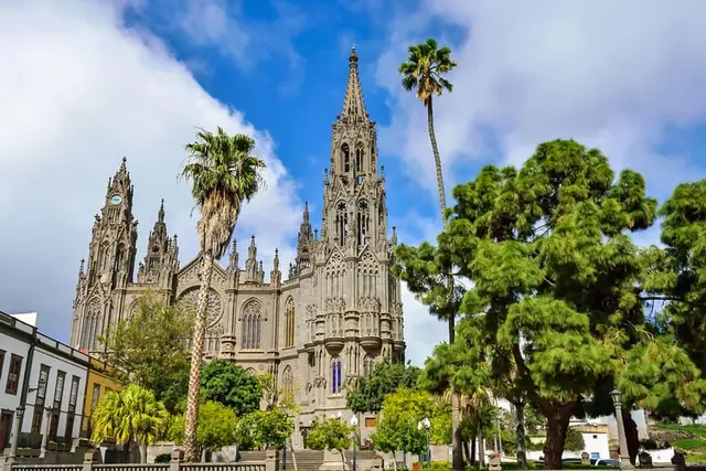
The church of San Juan Bautista (1909), carved entirely from Arucas stone, is a parish church even though everyone calls it "the cathedral". Close by are the Jardín de la Marquesa (1880) and the Arehucas distillery: €10 at the door with a tasting included, no booking, Monday to Thursday until 14:00 and Fridays until 18:00, never at weekends. On Saturday mornings there is a market in Parque de la Paz.
Time: 2–3 h with the distillery · Getting there: 15–20 min from Las Palmas; direct bus 234 · Guide: rum, wine and bananas
A twenty-minute stop between Arucas and Teror: the Paseo de Gran Canaria runs down the main street as a 30 m stone cascade, bearing the coats of arms of the 21 municipalities, and next to it the Paseo de Canarias shows the seven islands in relief.
Time: 30 min · Getting there: bus 204 from San Telmo (€2.85) · Guide: villages
The archaeological park of the ancient Canarians, in the middle of Gáldar. Entry €6, under-18s free; tickets are sold online only (cash is no longer accepted) and it closes on Mondays. Sunday is free, but those tickets are handed out at the desk on the day, two per person at most: arrive at opening time, 11:00. Guided tour in English at 12:30. Tickets at cuevapintada.grancanaria.com.
Time: 1.5 h · Getting there: 30 min from Las Palmas on the GC-2; buses 100, 103 and 105 (€3.10) · Guide: caves
An Aboriginal communal granary more than 800 years old, with over 350 hollows in the hillside, in Santa María de Guía on the way to Gáldar. Entry €3, valid for a year; the €8 combined ticket adds Maipés de Agaete and Cañada de los Gatos. Closed on Mondays.
Time: 45 min · Getting there: car on the GC-2 · Guide: caves
A fishing harbour with fish restaurants, the Las Nieves chapel and the "Dragon's Tail" cliffs. The Dedo de Dios (God's Finger) lost its tip in Storm Delta in 2005: photos with the "finger" are old ones. The Las Salinas natural pools are at the end of the Paseo de los Poetas (on the right as you face the sea), with parking and toilets. At sunset the sun goes down opposite the cliffs.
Time: half a day · Getting there: 30–45 min from Las Palmas on the GC-2; bus 103 from San Telmo (€4.40) · Guide: Agaete
A valley of coffee, orange trees and vines climbing up from the town. Finca La Laja / Bodega Los Berrazales opens daily from 09:00 to 19:00 (last visit 18:00) with no booking needed for small groups; it is the weekend alternative to Arehucas. On the road up the valley is the Maipés archaeological park (€3, closed on Mondays).
Time: 2 h · Getting there: car from Agaete · Guide: Agaete
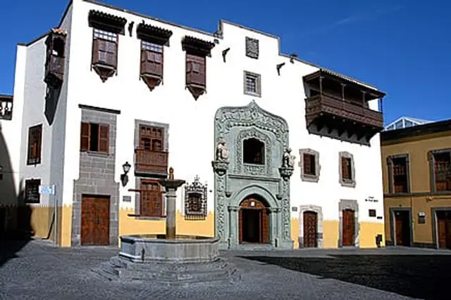
The founding quarter, more than 500 years old and a protected historic site since 1973. Santa Ana cathedral is visited on an €8 ticket that includes the tower lift and the Diocesan Museum (Monday to Friday 10:00–18:00, Saturday until 16:00, no visits on Sundays). Casa de Colón costs €4 and is free on Sundays and for under-18s; from 20 October it opens Wednesday to Monday and closes on Tuesdays (opening hours). The Mercado de Vegueta opens early (07:00–08:00) and is closed on Sundays. The Casa-Museo Pérez Galdós is closed for renovation.
Time: half a day · Getting there: from the south, bus 50 or 30 to San Telmo · Guide: Las Palmas de Gran Canaria
Just over 3 km of city beach sheltered by La Barra, a natural reef about 200 m offshore that calms the water. At low tide the inner lagoon goes very still. The southern end, La Cícer, is the surfing zone.
Time: the afternoon · Getting there: bus 30 to Santa Catalina · Guide: Las Palmas
At the end of Las Canteras, a natural stretch of coast for walking and watching the sunset. Bathing has been banned since June 2023 because of pollution episodes; only expert surfers go in the water. About 30 minutes on foot from the northern end of Las Canteras.
Time: 1 h · Getting there: on foot from Las Canteras · Guide: Las Palmas
The botanical garden of Canarian flora, founded in 1952 in Tafira. Right now the upper (Tafira) entrance is closed for works: you can only get in from the Carretera del Dragonal (GC-310), km 7, and there is no bus stop nearby, so go by car. Progress of the works at jardincanario.grancanaria.com.
Time: 2 h · Getting there: car, about 15 min from Las Palmas · Guide: Las Palmas
A crater 216 m deep and about 1,100 m across, formed by an explosion some 5,000 years ago. There are two separate visits: the path that circles the rim or drops to the floor, and the Pico de Bandama viewpoint, which you drive up to through vineyards. From San Telmo, bus 311 costs €1.55: the cheapest volcano from the capital.
Time: 1–3 h · Getting there: bus 311 or car on the GC-802 · Guide: Pico de las Nieves and Bandama
A Natural Monument and archaeological zone with the island's highest density of pre-Hispanic sites: cave houses, burial grounds and granaries. At the end of the road, about 6–7 km from Agüimes, there are restaurants carved into the rock. The interpretation centre opens Tuesday to Sunday, 09:00–17:00. The almond trees blossom in January and February.
Time: half a day with lunch · Getting there: car, exit 18 off the GC-1 towards Ingenio and Agüimes · Guide: caves and ravines
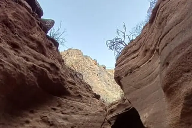
A gorge of reddish tuff with walls of 10–15 m and passages 1–2 m wide, under the 1933 stone bridge on the GC-550. Free, with no permit or opening hours. Put "Barranco de Barafonso" or the bridge into your satnav. There is only verge space for a few cars and no toilets or shade: go before 09:30 or late in the day.
Time: 1.5 h · Getting there: car, about 40 min from Playa del Inglés · Guide: Barranco de las Vacas
Ten minutes further up the GC-550, Temisas is a hamlet among olive trees. Agüimes, below, has a well-kept old town with the stone church of San Sebastián and an interpretation centre on Plaza de San Antón.
Time: 1 h each · Getting there: car; bus 34 runs along the GC-550 · Guide: villages
The closest thing to a waterfall on the island: a year-round stream with small falls and laurel forest, between Telde and Valsequillo. The walk starts at Los Arenales, above Lomo Magullo: about 7 km there and back, easy to moderate. Best after the winter rains.
Time: 3–4 h · Getting there: car on the GC-131 and GC-132 · Guide: caves, waterfalls and natural pools
Almost everything is free: dunes, beaches, viewpoints, ravines, Bandama and the villages; Roque Nublo too, with a booking. On Sundays, Casa de Colón and Cueva Pintada charge nothing. The paid sites range from €3 (Valerón, Maipés) to €8 (the cathedral).
With children, Las Canteras (calm water behind the reef), the Las Salinas pools and the dune camel rides (mornings only, until 14:15) all work well. More ideas in the guide with kids.
Without a car, a day tour combines the summit, villages and viewpoints: from €44 for the classic tour from the south; the rural-village or summit tours cost more and go at a gentler pace.
GetYourGuide8 hours
Towns and trips· Whole island
4.6 (819)
from €79Check availability
GetYourGuide8.5 hours
Towns and trips· Las Palmas and the north
4.9 (1,015)
from €46Check availability
GetYourGuide8 hours
Towns and trips· Las Palmas and the north
4.4 (365)
from €44Check availability
GetYourGuide8 hours
Nature· Whole island
4.7 (324)
from €115Check availability
GetYourGuide10 hours
Nature· Whole island
4.9 (924)
from €112.50Check availability
GetYourGuide2.5 hours
Towns and trips· Las Palmas and the north
4.7 (219)
from €55Check availability
See everything on GetYourGuide →Prices checked on 15 October 2026
The classic island tour from the south costs the same on both platforms:
| Platform | Product | Rating | Price | Where |
|---|---|---|---|---|
| GetYourGuide | From Mogán/Maspalomas/Arguineguín: Gran Canaria 8-Hour Tour | 4.2 (2,154) | €44 | See on GetYourGuide |
| Headout | Gran Canaria: Full-Day Island Highlights Tour | — | €44 | See on Headout |
Adult price, checked on 15 October 2026. Platforms change prices daily: confirm before you pay.
The Red Canyon tour (Barranco de las Vacas, the Fortaleza de Ansite and Arinaga) with a tasting is currently cheaper on Headout:
| Platform | Product | Rating | Price | Where |
|---|---|---|---|---|
| Headout | Gran Canaria: The Red Canyon Tour with Local Food Tasting | — | €103.50 Best price | See on Headout |
| GetYourGuide | Gran Canaria: The Red Canyon Tour with Local Food Tasting | 4.7 (324) | €115 | See on GetYourGuide |
| Tiqets | Gran Canaria: Guided Red Canyon Tour + Transfers + Local Products Tasting | 5.0 (1) | €115 | See on Tiqets |
Adult price, checked on 15 October 2026. Platforms change prices daily: confirm before you pay.
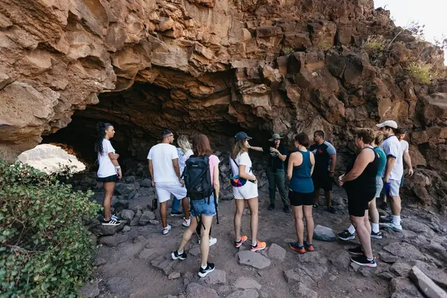
For Barranco de las Vacas alone, the Sky Rebels outing (groups of six, pick-up in Maspalomas) is shorter: book Barranco de las Vacas with Sky Rebels. To link up places over several days, see the 3-, 5- and 7-day route or the day trips.
From the south, head up to the summit: Fataga, Roque Nublo (with a booking or before 10:00), Tejeda for lunch and the Pico de las Nieves viewpoint. From Las Palmas, Vegueta in the morning and Las Canteras in the afternoon.
It is free, but entering the trail from La Goleta between 10:00 and 17:00 requires a booking at reservasroquenublo.com. Before 10:00, after 17:00 or entering via La Culata, no booking is needed.
Teror, Arucas, Firgas, the Cueva Pintada in Gáldar, the Cenobio de Valerón and Agaete with Puerto de las Nieves. Avoid Mondays, when the archaeological sites close, and remember that Arehucas does not open at weekends.
Yes, on line 18 from Faro de Maspalomas: departures at 08:00 and 09:00, €6 to Roque Nublo, and back from the Roque stop at 11:00, 13:30 or 18:00. No bus goes to Pico de las Nieves.
No. Bathing has been banned since June 2023 because of pollution. It is a walk and an expert surf spot; for a swim, Las Canteras is right next door.
Booking calendars The GetYourGuide and Tiqets calendars are loaded by those companies and may use cookies. This site uses no cookies or analytics of its own. More information