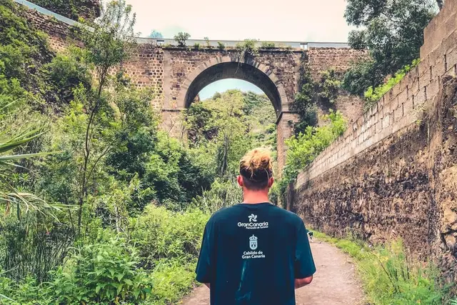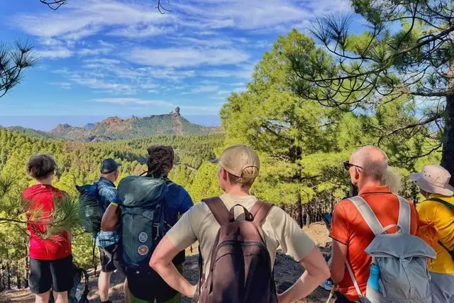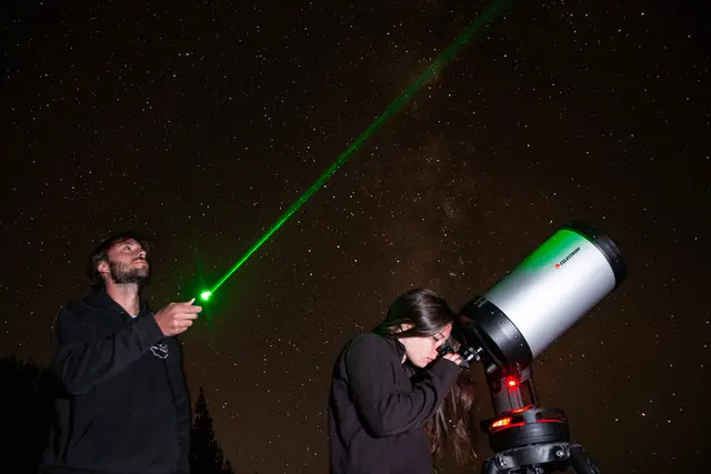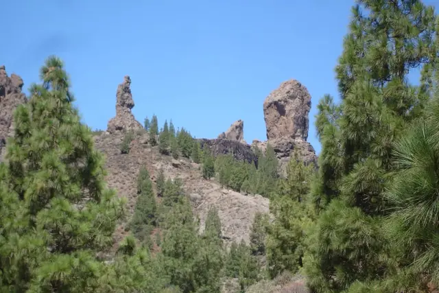
GetYourGuide7.5 hours
Nature· Las Palmas and the north
From Palmas: Pico de las Nieves & Roque Nublo Full-Day Trip
4.7 (1,279)
from €48Check availability
Summit and natureSummit · volcanoes
You drive up Pico de las Nieves to a free viewpoint beside the fence of a military radar base; there is no booking and no path to the top. To see a real crater, the Caldera de Bandama is 20 minutes from Las Palmas.
63 min 57 km · by car, no traffic
Updated 15 October 2026Facts checked against official sourcesContains affiliate links
9 options · Prices checked on 15 October 2026
Nothing matches that combination. Remove a filter.
GetYourGuide7.5 hours
Nature· Las Palmas and the north
4.7 (1,279)
from €48Check availability
GetYourGuide3 hours
Nature· Las Palmas and the north
4.6 (57)
from €105Check availability
Headout
Adventure· Whole island
No reviews yet
from €36Check availability
GetYourGuide1.5 hours
Nature· Las Palmas and the north
4.9 (34)
from €35Check availability
GetYourGuide8 hours
Nature· Las Palmas and the north
4.2 (160)
from €32Check availability
Headout
Towns and trips· Whole island
No reviews yet
from €130Check availability
GetYourGuide2 hours
Adventure· Whole island
4.3 (254)
from €150Check availability
GetYourGuide7.5 hours
Nature· Whole island
4.9 (16)
from €91Check availability
GetYourGuide8 hours
Nature· Las Palmas and the north
5.0 (1)
from €52Check availability
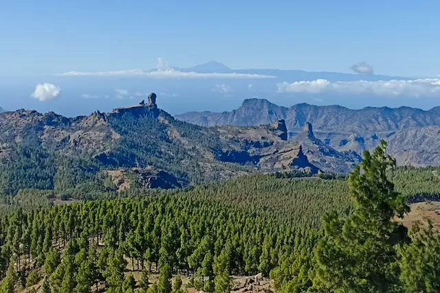
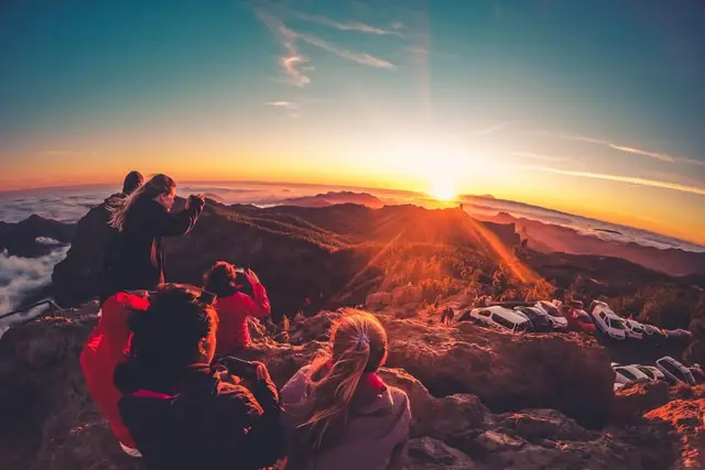
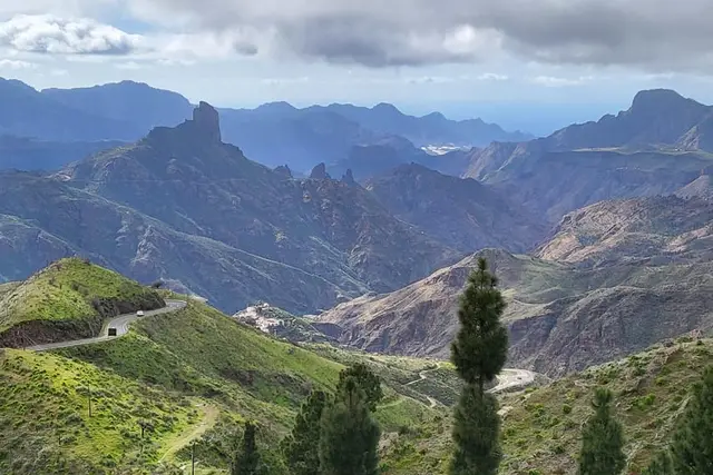
Pico de las Nieves is the great balcony at the centre of Gran Canaria: from the top you look over the Tejeda caldera with Roque Nublo and, on many days, the sea of clouds below you. What plenty of people do not realise before going up is that you cannot set foot on the summit. The whole top is taken up by a military radar base, and what you visit is the public viewpoint next to the fence.
This guide brings together what you can genuinely do on the island under the word "volcano": the Pico de las Nieves viewpoint, the Caldera de Bandama, which really is a crater you can walk down into, and the summit tours sold as "volcano tours". At the end, a few lines on the Maspalomas dunes, the closest thing the island has to a desert.
The geodetic marker on Pico de las Nieves, in the municipality of Vega de San Mateo, stands at 1,949.98 m above sea level. It sits inside the fenced compound of Air Surveillance Squadron 21 (Escuadrón de Vigilancia Aérea 21), which has operated here since 1968; the white radar dome is the landmark you can see from half the island. The road ends at the gate of the military compound, and there is no entry without a permit.
Beside the fence is the viewpoint, often called the Mirador del Pico de los Pozos de la Nieve (mirador means viewpoint). It is free and has no opening hours. The classic view is over the great Tejeda caldera with Roque Nublo silhouetted in the middle.
It depends on whom you ask. The Spanish National Geographic Institute (IGN) lists it as the island's highest point; other sources put the neighbouring Morro de la Agujereada a few metres higher, at 1,956–1,957 m. The fair way to put it is that Pico de las Nieves stands at about 1,950 m, on the roof of the island or a step away from it. For visitors the difference changes nothing: the viewpoint is the high point you can reach by car.
The name comes from the 17th-century snow pits, where the cathedral chapter stored the snow that fell on the summit. One of them has been restored, but no visiting hours are published: do not count on getting in.
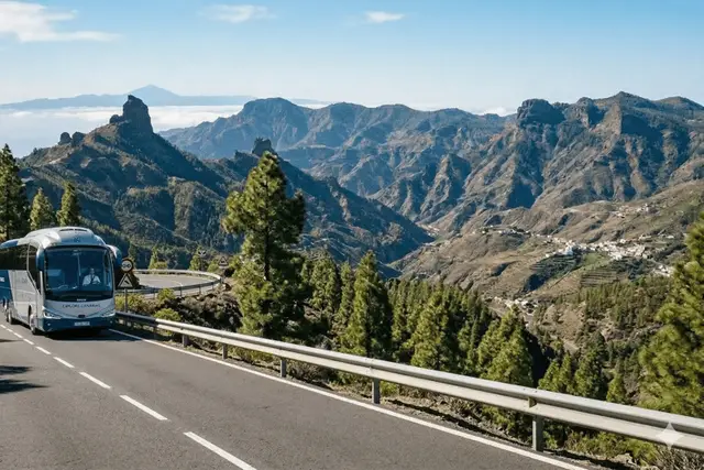
Yes, you can drive all the way up, and that is the normal way to do it: no bus line reaches the viewpoint. From Telde you climb via the GC-130 and GC-131 to the GC-134, which leads to the summit spur. From Cueva Grande, the IGN describes the last stretch like this: 4.3 km towards Ayacata, left towards Los Cazadores for 2.2 km, then right for 900 m to the gate.
From Playa del Inglés it is a little over 60 minutes; from Las Palmas, about 50. If there has been frost overnight, check the Cabildo's (island council's) road status before you set off.
| Playa del Inglés | Maspalomas / Meloneras | Puerto Rico / Amadores | Puerto de Mogán | Las Palmas | |
|---|---|---|---|---|---|
| Pico de las Nieves | 63 min57 km | 67 min62 km | 82 min73 km | 82 min79 km | 52 min47 km |
| Roque Nublo | 61 min40 km | 67 min44 km | 84 min57 km | 84 min64 km | 73 min51 km |
| Caldera de Bandama | 45 min50 km | 49 min55 km | 64 min66 km | 64 min72 km | 23 min18 km |
Free-flow driving time calculated with OSRM on OpenStreetMap. In summer and at rush hour allow 20–30 % more, plus time to park.
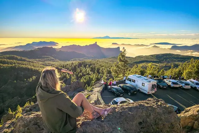
The trade wind leaves a blanket of cloud between roughly 700 and 1,500 m, and on many mornings the Pico sits above it in the sunshine, with a sea of clouds at your feet while Las Palmas is grey. In winter it is cold up there and can freeze; bring a proper jacket even if you are coming straight from the beach. In summer, the Saharan calima (dust haze) is stronger at altitude than on the coast: the horizon disappears and fire alerts close parts of the summit.
As the summit is military, forget about "climbing the peak" on foot to the marker. What does exist are routes along the surrounding summits and vehicle excursions that include it as a stop.
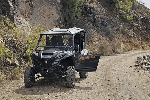
A word of caution on the jeep safaris from the south: the ones we have checked cover Santa Lucía, Fataga and Chira, and do not go to Pico de las Nieves. We explain it on the jeep safari page.
The best-selling product with "volcano" in its name is the volcano sunset tour with local food tasting: about 10 hours around the summit area, with a tasting of local produce and the sunset up top. You will not see an erupting volcano or go into a crater: it is really a summit excursion at sunset, and a very well-rated one (4.9 out of 5 from more than 900 reviews on GetYourGuide).
| Platform | Product | Rating | Price | Where |
|---|---|---|---|---|
| GetYourGuide | Gran Canaria: Volcano Sunset Tour and Local Food Tasting | 4.9 (924) | €112.50 Best price | See on GetYourGuide |
| Headout | Gran Canaria: Volcano Sunset Tour and Local Food Tasting | — | €112.50 Best price | See on Headout |
| Tiqets | Gran Canaria: Guided Volcano Tour + Local Products Tasting + Roundtrip Transfer | 5.0 (1) | €125 | See on Tiqets |
Adult price, checked on 15 October 2026. Platforms change prices daily: confirm before you pay.
Today GetYourGuide and Headout sell it at the same price, from €112.50, with Tiqets a little dearer. We would book it on GetYourGuide: same price, hundreds of reviews and the option to reserve now and pay later, whereas on Headout it has no reviews yet. Bear in mind that in winter the sun sets at around 18:10–18:30, so you are back at the hotel before dinner. More options in the sunset guide.
GetYourGuide10 hours
Nature· Whole island
4.9 (924)
from €112.50Check availability
GetYourGuide2 hours
Adventure· Whole island
4.3 (254)
from €150Check availability
GetYourGuide7.5 hours
Nature· Whole island
4.9 (16)
from €91Check availability
GetYourGuide8 hours
Nature· Las Palmas and the north
5.0 (1)
from €52Check availability
GetYourGuide8 - 9 hours
Nature· Whole island
5.0 (1)
from €73Check availability
GetYourGuide8.5 hours
Nature· Whole island
No reviews yet
from €252Check availability
See everything on GetYourGuide →Prices checked on 15 October 2026
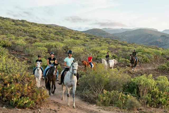
In tour listings you will see "horse ride on a volcanic trail" or "buggy through volcanic landscapes". These are activities in the hills of the south, on volcanic ground like almost the whole island, not visits to a crater. The horse ride is El Salobre's, above Maspalomas: its website charges €38.02 an hour, the same as GetYourGuide, and on Headout a ride with the same name is slightly cheaper. The details are on the horse riding page.
| Platform | Product | Rating | Price | Where |
|---|---|---|---|---|
| Headout | Gran Canaria: Volcanic Trail Horse Riding | — | €36 Best price | See on Headout |
| GetYourGuide | Gran Canaria: Volcanic Trail Horse Ride, Optional Transfer | 4.6 (2,535) | €38.02 | See on GetYourGuide |
Adult price, checked on 15 October 2026. Platforms change prices daily: confirm before you pay.
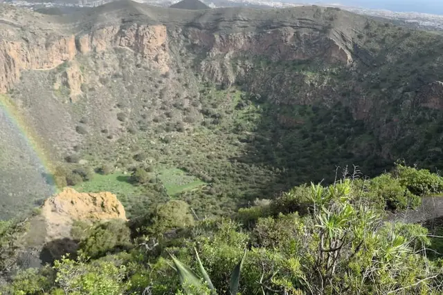
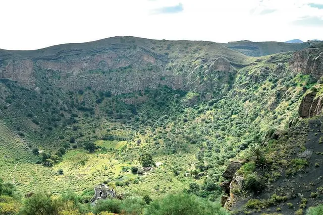
If you want to peer into a crater, this is the place. The Caldera de Bandama, between Santa Brígida, Telde and Las Palmas, is 216 m deep, about 1,100 m across and more than 3 km round the rim. It formed about 5,000 years ago in a phreatomagmatic explosion, when magma met groundwater beside the old Pico de Bandama. It is a Natural Monument and the most striking example of recent volcanic activity on the island.
The name comes from Daniel Van Damme, a Flemish merchant who was the first to plant vines inside the crater. On the rim is the island's historic golf club.
Bandama is two separate visits with separate access, and both are worth doing:
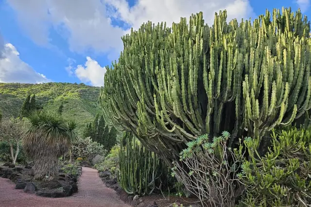
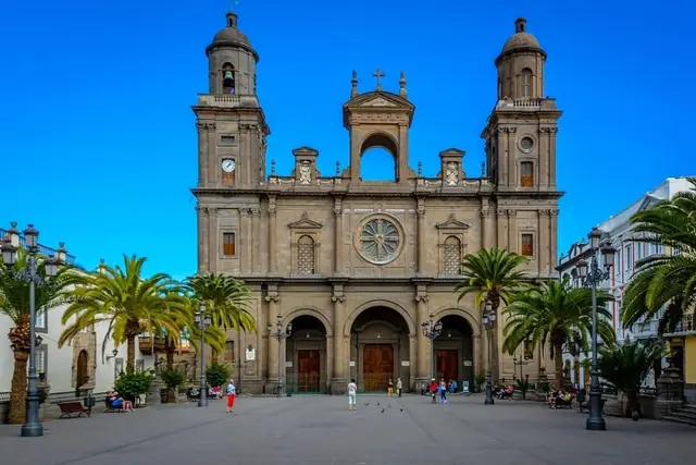
Bandama fits in well with the rest of the area: the Casa del Vino in Santa Brígida (Calle Calvo Sotelo 26) and the Jardín Canario botanical garden, which currently only has its Carretera del Dragonal entrance open, at km 7 (GC-310). If you would rather not drive, there are tours from Las Palmas that combine Vegueta, the botanical garden and the crater, such as Vegueta, Botanical Garden and Bandama, from €32. For the capital, see the Las Palmas guide.
There is no active volcano to visit. The whole island is volcanic, with extinct craters and cones everywhere, but the "volcano" experience comes down to walking in an extinct crater, and the youngest-looking one is Bandama, at about 5,000 years old.
The closest thing to a desert on Gran Canaria is the Maspalomas dunes, a Special Nature Reserve of about 400 hectares beside the lighthouse. It is not a desert you can roam freely: you may only walk on about 8 km of paths marked with posts, four routes in all, and straying off them carries a fine of €150 to €600. Camping and filming without a permit are also banned.
To see them without treading on sand, there is the Mirador de las Dunas, at the end of Playa del Inglés next to the Riu Palace hotel, and the La Charca boardwalk, 200 m from the lighthouse. Sunset is when most people stray off the paths and when most fines are handed out: stay by the marker posts. Everything else is in the Maspalomas guide.
Yes. The road runs right up to the gate of the military base, and the public viewpoint is next to it. It is free, with no booking and no opening hours. No bus goes there.
The IGN marker reads 1,949.98 m. Some sources put the neighbouring Morro de la Agujereada a few metres higher, so we say it stands at about 1,950 m, on the roof of the island or very nearly.
No. The compulsory booking from 10:00 to 17:00 applies only to the Roque Nublo trail from La Goleta.
By bus, line 311 from San Telmo (Las Palmas) for €1.55. By car, via the GC-802 from the Monte Lentiscal roundabout, about 20 minutes from the capital.
Yes, one trail goes down inside the crater and another runs round the rim, more than 3 km long. The Pico de Bandama viewpoint is a separate visit, by car.
No. The island's craters are extinct; the most recent-looking is Bandama, at about 5,000 years old.
Time to spare on the summit? Pair the viewpoint with Roque Nublo and, after dark, with stargazing.
Booking calendars The GetYourGuide and Tiqets calendars are loaded by those companies and may use cookies. This site uses no cookies or analytics of its own. More information