GetYourGuide8 hours
Nature· Whole island
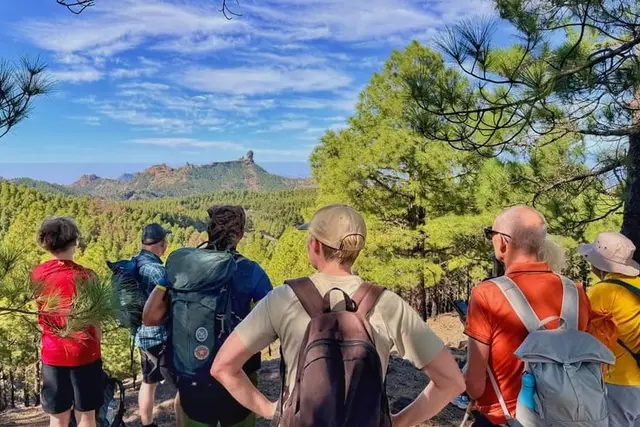
Gran Canaria: Full-Day Guided Hike With Snacks
4.9 (98)
from €70Check availability
Summit and natureNature · walking routes
Hiking in Gran Canaria happens inland, not on the hotel coast: more than 800 km of waymarked trails through pine forest, rock pinnacles and ravines. What matters is the Roque Nublo booking, alert days and the heat.
61 min 40 km · by car, no traffic
Updated 15 October 2026Facts checked against official sourcesContains affiliate links
9 options · Prices checked on 15 October 2026
Nothing matches that combination. Remove a filter.
GetYourGuide8 hours
Nature· Whole island
4.9 (98)
from €70Check availability
GetYourGuide5.5 hours
Nature· Whole island
4.9 (34)
from €87Check availability
GetYourGuide4 hours
Nature· Whole island
4.9 (188)
from €74Check availability
GetYourGuide3 hours
Nature· Whole island
4.9 (38)
from €52Check availability
GetYourGuide7 hours
Nature· Whole island
4.5 (52)
from €79Check availability
GetYourGuide3 hours
Nature· Whole island
4.7 (4)
from €45Check availability
GetYourGuide5 hours
Nature· Las Palmas and the north
No reviews yet
from €15Check availability
GetYourGuide4 hours
Nature· Whole island
No reviews yet
from €36Check availability
GetYourGuide3 hours
Nature· Whole island
2.8 (2)
from €48Check availability
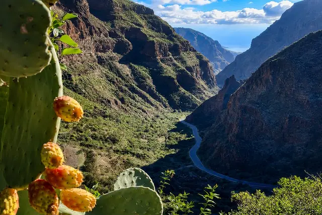
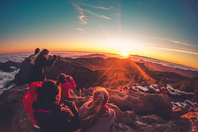
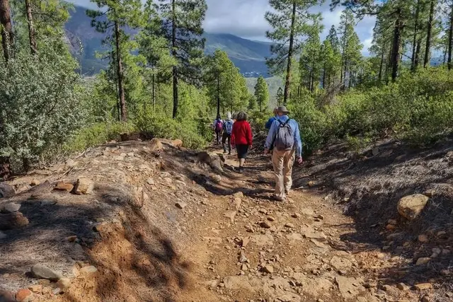
Hiking in Gran Canaria starts an hour from your hotel, up in the cumbre, the local name for the high ground in the middle of the island. From Maspalomas or Puerto Rico there are no great walks from the front door: you have to drive up, take a guagua (the Canarian word for bus) or have a guide pick you up. The reward is that in one morning you go from 1,500 to 1,800 m, walk among pines and rock towers and, on many days, above a sea of cloud.
| Route | Area | Approx. distance | Level | What to know |
|---|---|---|---|---|
| Roque Nublo (S-70) | Tejeda, summit | about 3 km there and back, about 300 m of ascent | moderate | free booking 10:00–17:00 |
| Roque Bentayga | Tejeda | about 2 km there and back, 1 h | easy–moderate | no water on the way |
| Summits around Pico de las Nieves | San Mateo | 7–10 km between 1,650 and 1,917 m | moderate | the top is a military zone |
| Barranco de los Cernícalos | Telde / Valsequillo | about 7 km there and back | easy–moderate | stream with waterfalls |
| Caldera de Bandama | Santa Brígida / Telde | rim of over 3 km | easy–moderate | guagua 311 from Las Palmas |
| Pinar de Tamadaba | Agaete / Artenara | several routes | varies | download the GPX |
| Camino de Santiago | Maspalomas → Gáldar | about 66 km in 3 stages | demanding | its own certificate in Gáldar |
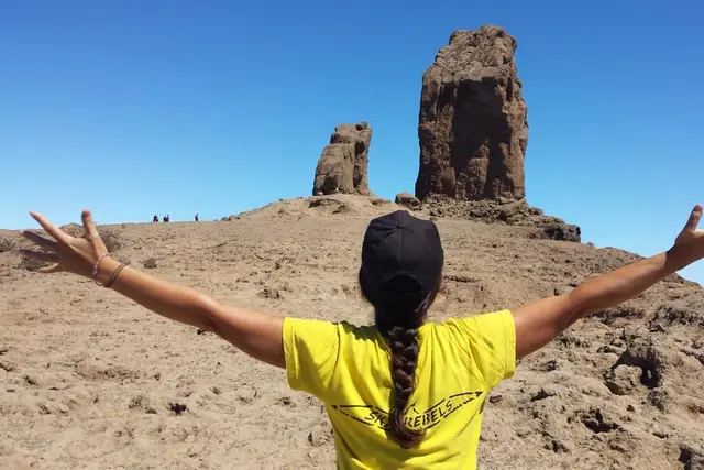
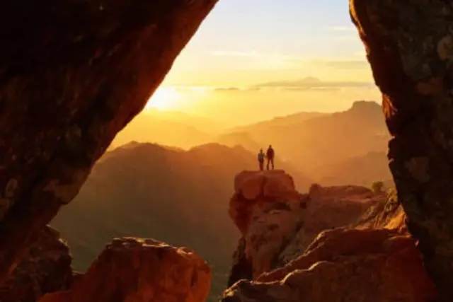
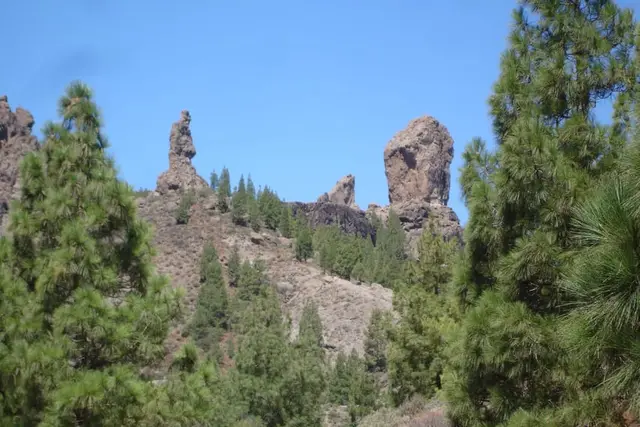
The monolith, about 80 m tall above its base and standing at 1,813 m, is the symbol of the island. Trail S-70 starts at the Degollada de La Goleta: about 3 km there and back with roughly 300 m of ascent, moderate; at a good pace, about 40 minutes up and 20 down.
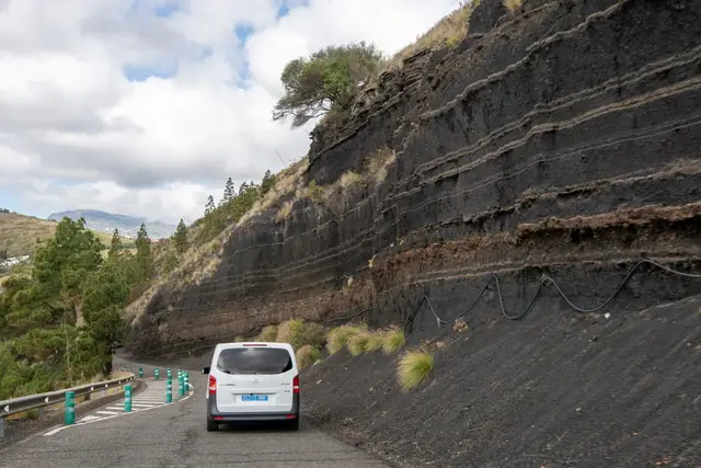
Three things change the plan. First, entering between 10:00 and 17:00 requires a free booking at reservasroquenublo.com: seven one-hour slots of 60 people each, and the 10:00–12:00 slots sell out days ahead, even in October; book a morning slot a week in advance or go in the afternoon, when there is usually space. Second, the La Goleta car park is closed: you park at Cruz de Los Llanos and ride guagua 18 up, which takes 9 minutes. Third, on forest-fire alert days the system takes no bookings.
All the detail on slots, buses from the south and tricks is in our Roque Nublo guide.
How to book Roque Nublo
Tejeda's other great rock, with a free visitor centre at its foot. Take the GC-60 to Tejeda, then the GC-607 (El Espinillo); parking is free. The path to the summit plateau is about 2 km there and back, around an hour, with no water. The centre usually opens Tuesday to Sunday, 10:00–17:00; confirm before you go. No booking needed, and it is the fallback when Roque Nublo is full.
Pico de las Nieves stands at around 1,950 m, but the very top is a fenced military radar compound: don't plan to "climb to the summit". The appeal is the walks along the surrounding ridges, between 1,650 and 1,917 m, like the one GC Active Tour runs (7–10 km depending on the day). More on the viewpoint in Pico de las Nieves and Bandama.
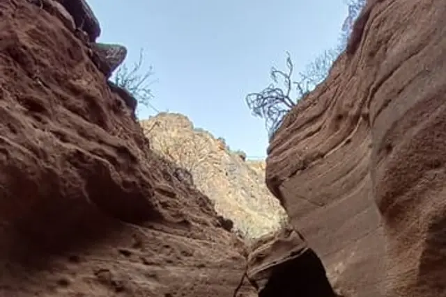
A stream that runs all year, with small waterfalls and laurisilva (the humid laurel forest of the Canary Islands). About 7 km there and back from the Los Arenales picnic area above Lomo Magullo; easy to moderate, free and no permit. It carries more water after the winter rains. Details and tours in caves, waterfalls and natural pools.
A crater 216 m deep and about 1,100 m across: you can walk round the rim (over 3 km) or go down to the floor. Guagua 311 runs from San Telmo in Las Palmas (€1.55). It is the best short walk if you are staying in the capital.
Tamadaba is the largest pine forest on Gran Canaria. From Agaete you can only reach it on foot; by car you enter from the Artenara side. Ayagaures and Pilancones are the nearest hills to Maspalomas, above the resorts, with the Ayagaures lake. Presa de las Niñas is a reservoir at about 900 m inside the Nublo Rural Park, with tables, barbecues, toilets and parking: a good starting point for families. For these three there is no official route sheet with distances we can give you: download the GPX route from the Cabildo's (island council's) portal and pick one that suits your level.
The island network has more than 800 km of public trails, with route sheets to download as PDF, KML or GPX at grancanariasenderos.com, the Cabildo's portal. The basic rules:
Without a car, or without the patience for slots and buses, a guide sorts out the logistics. The two small operators we recommend are very different.
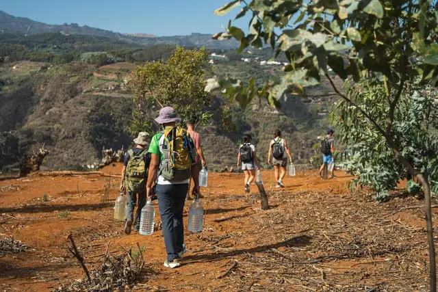
GC Active Tour is a single Polish guide, an international mountain leader (UIMLA), who has lived on the island since 2006. All routes cost from €70 and include transport, lunch, poles and insurance. The "Summits of Gran Canaria" route runs on Mondays (10 km, ±400 m) and on Wednesdays and Sundays (7 km, ±300 m); on Tuesdays and Thursdays it is the "route of the week", chosen by the weather. Pick-ups run between 08:25 and 08:55 from Sonnenland to Bahía Feliz, via Meloneras, Campo Internacional, Playa del Inglés and San Agustín, but there is no pick-up in Las Palmas, Puerto Rico, Puerto de Mogán, Taurito, Playa del Cura or Arguineguín. Children from 8. Free cancellation more than 48 h ahead. We look at it in our GC Active Tour review.
Sky Rebels are two guides born on Gran Canaria, with groups of six at most. Their Roque Nublo hike costs €70 direct with pick-up in Maspalomas: they enter on the quota for licensed activity companies, before the public 10:00 window opens, so you don't need your own booking. On GetYourGuide the same hike is from €87. They also do Barranco de las Vacas (€65 direct) and Los Cernícalos (from €72). Note: cancel more than 48 h ahead and you get your money back minus a 10 % handling fee, and they don't sell via ferrata. More in the Sky Rebels review.
| Item | On your own | With a tour |
|---|---|---|
| Price | fuel or guagua (€6 from Faro de Maspalomas to Roque Nublo) | from €65–70 direct, more on platforms |
| Roque Nublo | free booking, morning slots sold out | the company uses its own quota |
| Transport | car to Cruz de Los Llanos and guagua 18 | pick-up in the south included |
| Navigation | Cabildo GPX | qualified guide |
| Flexibility | go when you like | fixed day and route |
GetYourGuide8 hours
Nature· Whole island
4.9 (403)
from €70Check availability
GetYourGuide5 hours
Nature· Las Palmas and the north
No reviews yet
from €15Check availability
GetYourGuide4 hours
Nature· Whole island
No reviews yet
from €36Check availability
GetYourGuide3 hours
Nature· Whole island
2.8 (2)
from €48Check availability
See everything on GetYourGuide →Prices checked on 15 October 2026
On the south coast there are no mountain walks from the hotel door. In the Maspalomas Dunes you may only walk on the roughly 8 km of paths marked with posts, and leaving them carries a fine of €150–600; see Maspalomas. The nearest serious walking is Ayagaures, above Maspalomas.
From Puerto Rico and Puerto de Mogán, it is harder without a car: GC Active Tour doesn't pick up there. The guagua to the summit leaves from Faro de Maspalomas: line 18 at 08:00 reaches Roque Nublo at 09:30 (before the booking window) for €6, and on the way back passes Roque Nublo at 11:00, 13:30 and 18:00. Sky Rebels and other platform tours pick up at points in Maspalomas.
From Las Palmas, Bandama by guagua is the easy walk; for the summit you need a car or a chain of guaguas 303 and 305 to Tejeda and then the 18, more than three hours each way.
| Playa del Inglés | Maspalomas / Meloneras | Puerto Rico / Amadores | Puerto de Mogán | Las Palmas | |
|---|---|---|---|---|---|
| Roque Nublo | 61 min40 km | 67 min44 km | 84 min57 km | 84 min64 km | 73 min51 km |
| Roque Bentayga | 69 min45 km | 74 min49 km | 92 min61 km | 92 min68 km | 73 min50 km |
| Pico de las Nieves | 63 min57 km | 67 min62 km | 82 min73 km | 82 min79 km | 52 min47 km |
| Barranco de los Cernícalos | 45 min50 km | 49 min55 km | 64 min65 km | 64 min72 km | 33 min29 km |
| Caldera de Bandama | 45 min50 km | 49 min55 km | 64 min66 km | 64 min72 km | 23 min18 km |
| Pinar de Tamadaba | 109 min68 km | 114 min72 km | 130 min100 km | 119 min66 km | 79 min58 km |
Free-flow driving time calculated with OSRM on OpenStreetMap. In summer and at rush hour allow 20–30 % more, plus time to park.
A coast-to-coast crossing of about 66 km in three stages:
It ends at the church of Santiago de los Caballeros in Gáldar, which has held Jacobean privileges since 1965 and issues its own certificate: it is not the Compostela. The first stage is long and hot; walk it in winter and start early.
October to April is the best walking season: mild temperatures and clear days on the summit. In summer the heat bites on exposed routes; GC Active Tour shortens its summit route from 15 May to 30 September, and fire alerts are more frequent. Winter brings the few weather fronts of the year, with heavy showers: check the forecast, and carry a warm layer and a windproof all year. When the trade wind blows, the north is usually cloudy while the summit sits in sunshine above the clouds. More month-by-month detail in weather and things to do in Gran Canaria.
| Jan | Feb | Mar | Apr | May | Jun | Jul | Aug | Sep | Oct | Nov | Dec | |
|---|---|---|---|---|---|---|---|---|---|---|---|---|
| Summit (Roque Nublo, Tejeda) | Best | Best | Best | Best | Good | Poor | Poor | Poor | Good | Best | Best | Best |
| Northern ravines (Cernícalos) | Best | Best | Best | Good | Good | Poor | Poor | Poor | Poor | Good | Best | Best |
| Camino de Santiago | Best | Best | Best | Good | Poor | 0 | 0 | 0 | Poor | Good | Best | Best |
PoorGoodBest
With children, pick short routes with a reward at the end: Roque Bentayga (one hour), the rim of Bandama, the first stretch of Los Cernícalos or Presa de las Niñas with its picnic area. Roque Nublo is short, but allow for the booking and a steady climb. GC Active Tour takes children from 8. For other ideas with kids, see Gran Canaria with children.
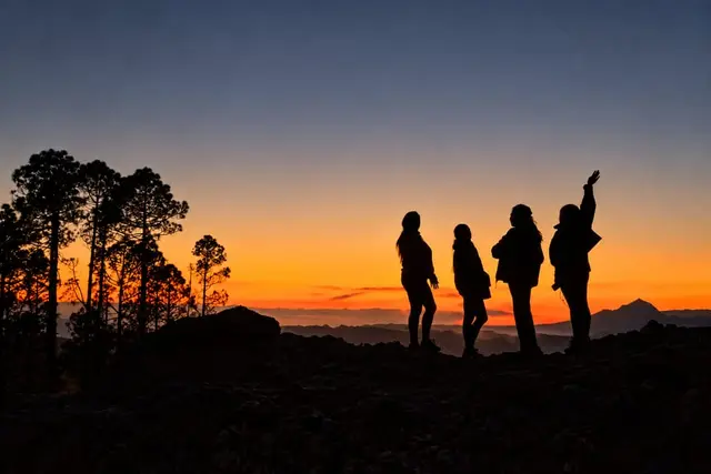
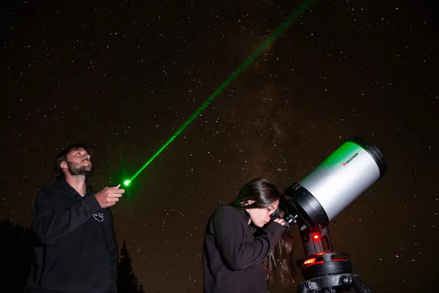
If you fancy a mix of walking and night sky, RockNatour sells a sunset astronomy hike in Tejeda (from €52); we cover it in stargazing.
Yes, to enter between 10:00 and 17:00. It is free at reservasroquenublo.com; morning slots sell out days ahead. Before 10:00 or after 17:00 no booking is needed.
For a first visit, Roque Nublo (about 3 km there and back). If it is full, Roque Bentayga. For a full day, the summits around Pico de las Nieves or the Barranco de los Cernícalos.
In the dunes, only on the marked paths. The real walks are inland; GC Active Tour and Sky Rebels pick up in Maspalomas and Playa del Inglés.
No. Wild camping is banned on the trail network; you can only camp at regulated sites, with prior authorisation from the Cabildo.
Direct with the operators, from €65–70 with pick-up in the south. On GetYourGuide the best-rated hikes start from €70, and some, like Sky Rebels' Roque Nublo, from €87.
No. It ends in Gáldar, whose church of Santiago issues its own certificate.
Booking calendars The GetYourGuide and Tiqets calendars are loaded by those companies and may use cookies. This site uses no cookies or analytics of its own. More information